How Google Maps could make biking better
From Protocol.com
By Lisa Martine Jenkins
A few tweaks could make no-carbon transit a lot more appealing and safe.
Google Maps has a suite of features to make driving easier. The app gives users options to avoid tolls and highways and even recommends low-emission routes where available.
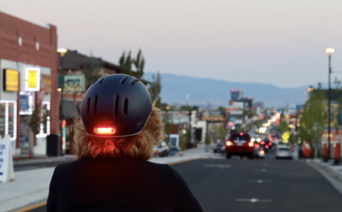
Bikers using the app, though, have far fewer options, particularly when it comes to determining how safe a route is. Fixing that could get more people on bikes and e-bikes, two of the most accessible forms of no-carbon transit available today. Given that the transportation sector is the biggest contributor to U.S. greenhouse gas emissions, encouraging the use of alternatives to driving — especially driving gas-powered cars — is more urgent than ever.
With its abundant data and mapping resources, Google Maps is well-poised to create a powerful tool that keeps people safe while navigating their city by bike. Doing so could encourage the use of one of the most reliable zero-emissions transportation technologies, a benefit that dovetails nicely with Google’s ambitious emissions reduction goals.
That’s not to say it’s a cut-and-dried task, though. The puzzle of how to set up a mapping algorithm for driving is relatively simple compared to doing so for biking. Estimating roughly how long it will take to drive somewhere requires little more than knowing speed limits and whether or not intersections have stop signs or stop lights. For biking, though, finding the “right” route is a lot more qualitative.
Photo by Manny Becerra on Unsplash