From LA.StreetsBlog.org
Parthenia Place’s bike/walk improvements are open now, though landscaping is anticipated to be completed by this Fall. Additional connected projects coming soon.
By Joe Linton
Los Angeles City has nearly completed work on bike and walk improvements along Parthenia Place in the central San Fernando Valley community of North Hills. The project is being constructed by the city’s Bureau of Street Services (StreetsLA) which is part of the Public Works Department (DPW).
Streetsblog reported on the project last November when it was very much a construction site. In late February, the city Transportation Department (LADOT) announced that the project’s two-way protected bike lanes are open. Streetsblog visited Parthenia Place last month; see Twitter thread for photos and commentary.
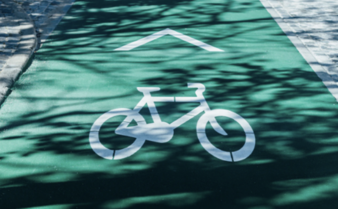
Photo by Dário Gomes on Unsplash